
Datei:USA Virgin Islands location map.svg

Größe der PNG-Vorschau dieser SVG-Datei: 570 × 599 Pixel. Weitere Auflösungen: 228 × 240 Pixel | 457 × 480 Pixel | 731 × 768 Pixel | 974 × 1.024 Pixel | 1.949 × 2.048 Pixel | 787 × 827 Pixel.
Originaldatei (SVG-Datei, Basisgröße: 787 × 827 Pixel, Dateigröße: 51 KB)
Beschreibung
| Beschreibung |
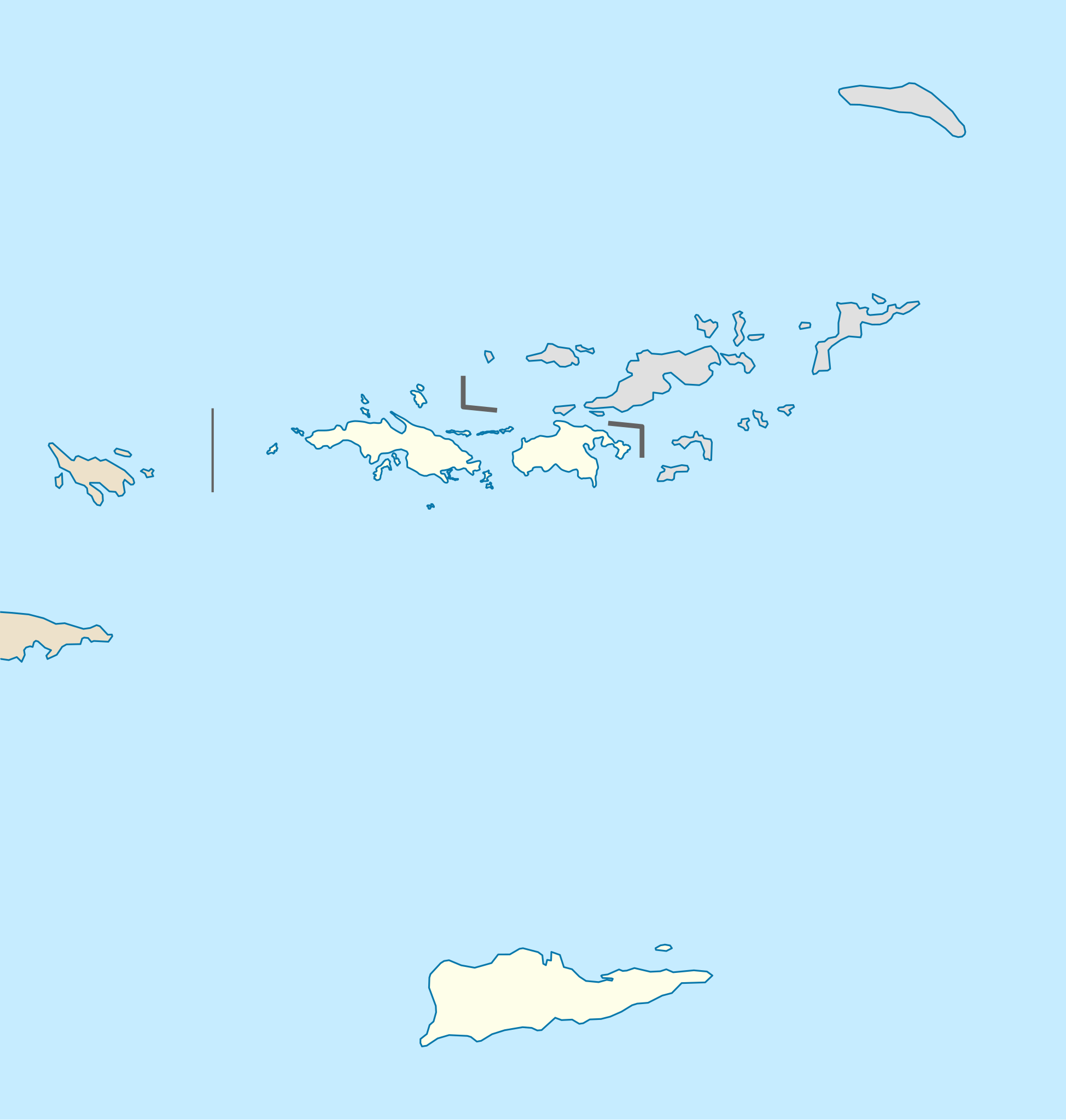
Quadratische Plattkarte, N-S-Streckung 105 %. Geographische Begrenzung der Karte:
Equirectangular projection, N/S stretching 105 %. Geographic limits of the map:
|
| Datum | |
| Quelle |
own work, using
|
| Urheber | NordNordWest |
| Andere Versionen | Abgeleitete Werke dieser Datei: Popular footprint.png |

|
Diese Karte wurde in der Kartenwerkstatt erstellt oder verbessert. Auch du kannst dort Karten vorschlagen, die zu erstellen, verändern oder übersetzen sind.
|
Lizenz
Ich, der Urheber dieses Werkes, veröffentliche es unter der folgenden Lizenz:
Diese Datei ist unter der Creative-Commons-Lizenz „Namensnennung – Weitergabe unter gleichen Bedingungen 3.0 nicht portiert“ lizenziert.
- Dieses Werk darf von dir
- verbreitet werden – vervielfältigt, verbreitet und öffentlich zugänglich gemacht werden
- neu zusammengestellt werden – abgewandelt und bearbeitet werden
- Zu den folgenden Bedingungen:
- Namensnennung – Du musst angemessene Urheber- und Rechteangaben machen, einen Link zur Lizenz beifügen und angeben, ob Änderungen vorgenommen wurden. Diese Angaben dürfen in jeder angemessenen Art und Weise gemacht werden, allerdings nicht so, dass der Eindruck entsteht, der Lizenzgeber unterstütze gerade dich oder deine Nutzung besonders.
- Weitergabe unter gleichen Bedingungen – Wenn du das Material wiedermischst, transformierst oder darauf aufbaust, musst du deine Beiträge unter der gleichen oder einer kompatiblen Lizenz wie das Original verbreiten.
Dateiversionen
Klicke auf einen Zeitpunkt, um diese Version zu laden.
| Version vom | Vorschaubild | Maße | Benutzer | Kommentar | |
|---|---|---|---|---|---|
| aktuell | 19:03, 12. Jul. 2009 | | 787 × 827 (51 KB) | NordNordWest | |
| 19:03, 12. Jul. 2009 |  | 787 × 827 (51 KB) | NordNordWest | ||
| 11:41, 7. Jul. 2009 |  | 787 × 827 (51 KB) | NordNordWest | {{Information |Description= {{de|Positionskarte der Amerikanischen Jungferninseln, USA}} Quadratische Plattkarte, N-S-Streckung 105 %. Geographische Begrenzung der Karte: * N: 18.85° N * S: 17.6° N * W: 6 |
Dateiverwendung
Die folgenden 19 Seiten verwenden diese Datei:
- Amerikanische Jungferninseln
- Cane Bay
- Charlotte Amalie
- Christiansted
- Coki Point
- Coral Bay
- Cruz Bay
- Darby Hill - Chenay Bay
- Frederiksted
- Frenchman Bay
- Grapetree Bay
- Great Cruz Bay
- Lindbergh Bay
- Red Hook (Virgin Islands)
- Saint Croix
- Saint John (Amerikanische Jungferninseln)
- Saint Thomas
- Modul:Location map data vi
- Modul:Location map data vi/Doku
Globale Dateiverwendung
Die nachfolgenden anderen Wikis verwenden diese Datei:
- Verwendung auf af.wikipedia.org
- Verwendung auf an.wikipedia.org
- Verwendung auf ar.wikipedia.org
- Verwendung auf arz.wikipedia.org
- Verwendung auf ast.wikipedia.org
- Verwendung auf az.wikipedia.org
- Verwendung auf be-tarask.wikipedia.org
- Verwendung auf be.wikipedia.org
- Verwendung auf bg.wikipedia.org
- Verwendung auf bn.wikipedia.org
- Verwendung auf ceb.wikipedia.org
- Plantilya:Location map USA Virgin Islands
- Signal Hill
- Saint John
- The Narrows
- Long Bay
- Isaac Point
- Hughes Point
- Great Bay
- Mount Pleasant
- West Point
- West Cay
- Sandy Point
- Black Point
- Powell Point
- Sail Rock
- East Point
- White Point
- Whale Point
- Long Point
- Spring Point
- Fish Point
- Dog Rocks
- Sugar Bay
- Sandy Bay
- West End
- Southwest Point
- Salt Pond
- Salt Cay
- Pond Bay
- Flat Cays
- Pelican Cay
- Hurricane Hole
- Green Cay
- Porpoise Rocks
Weitere globale Verwendungen dieser Datei anschauen.