
Datei:Pyrénées-Atlantiques department relief location map.jpg

Größe dieser Vorschau: 800 × 529 Pixel. Weitere Auflösungen: 320 × 212 Pixel | 640 × 423 Pixel | 1.045 × 691 Pixel.
Originaldatei (1.045 × 691 Pixel, Dateigröße: 954 KB, MIME-Typ: image/jpeg)
Beschreibung
| Beschreibung |
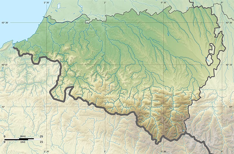
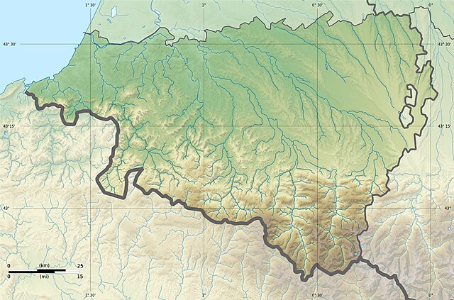
English: Blank physical map of the department of Pyrénées-Atlantiques, France, for geo-location purpose. Français : Carte physique vierge du département du Pyrénées-Atlantiques, France, destinée à la géolocalisation.
|
| Datum | 21:27, 25 February 2013 (UTC) |
| Quelle |
Eigenes Werk. English: Data sources:
Français : Sources des données :
|
| Urheber | |
| Andere Versionen |
|
| Namensnennung (von der Lizenz verlangt) | © Hawk-Eye / Wikimedia Commons / |
Lizenz
Diese Datei ist unter der Creative-Commons-Lizenz „Namensnennung – Weitergabe unter gleichen Bedingungen 3.0 nicht portiert“ lizenziert.
Namensnennung: © Hawk-Eye
- Dieses Werk darf von dir
- verbreitet werden – vervielfältigt, verbreitet und öffentlich zugänglich gemacht werden
- neu zusammengestellt werden – abgewandelt und bearbeitet werden
- Zu den folgenden Bedingungen:
- Namensnennung – Du musst angemessene Urheber- und Rechteangaben machen, einen Link zur Lizenz beifügen und angeben, ob Änderungen vorgenommen wurden. Diese Angaben dürfen in jeder angemessenen Art und Weise gemacht werden, allerdings nicht so, dass der Eindruck entsteht, der Lizenzgeber unterstütze gerade dich oder deine Nutzung besonders.
- Weitergabe unter gleichen Bedingungen – Wenn du das Material wiedermischst, transformierst oder darauf aufbaust, musst du deine Beiträge unter der gleichen oder einer kompatiblen Lizenz wie das Original verbreiten.
Dateiversionen
Klicke auf einen Zeitpunkt, um diese Version zu laden.
| Version vom | Vorschaubild | Maße | Benutzer | Kommentar | |
|---|---|---|---|---|---|
| aktuell | 23:27, 25. Feb. 2013 | | 1.045 × 691 (954 KB) | Hawk-Eye | == {{int:filedesc}} == {{Information |Description= {{Multilingual description |en= Blank physical map of the department of Pyrénées-Atlantiques, France, for geo-location purp... |
Dateiverwendung
Keine Seiten verwenden diese Datei.
Globale Dateiverwendung
Die nachfolgenden anderen Wikis verwenden diese Datei:
- Verwendung auf eo.wikipedia.org
- Verwendung auf es.wikipedia.org
- Verwendung auf fr.wikipedia.org
- Pau
- Bayonne
- Bizanos
- Oloron-Sainte-Marie
- Orthez
- Villefranque (Pyrénées-Atlantiques)
- Pardies-Piétat
- La Rhune
- Forêt d'Iraty
- Anglet
- Billère
- Mazères-Lezons
- Nousty
- Lescar
- Poey-de-Lescar
- Saint-Jean-de-Luz
- Nay (Pyrénées-Atlantiques)
- Accous
- Saint-Pierre-d'Irube
- Lagos (Pyrénées-Atlantiques)
- Cambo-les-Bains
- Montaner
- Assat
- Ostabat-Asme
- Morlaàs
- Mauléon-Licharre
- La Bastide-Clairence
- Biriatou
- Bidache
- Guiche
- Saint-Jean-Pied-de-Port
- Hasparren
- Hendaye
- Mourenx
- Navarrenx
- Sare
- Ainhoa
- Arthez-de-Béarn
- Bellocq
- Bielle (Pyrénées-Atlantiques)
Weitere globale Verwendungen dieser Datei anschauen.