
Datei:Trinidad and Tobago location map.svg

Größe der PNG-Vorschau dieser SVG-Datei: 619 × 600 Pixel. Weitere Auflösungen: 248 × 240 Pixel | 495 × 480 Pixel | 792 × 768 Pixel | 1.057 × 1.024 Pixel | 2.113 × 2.048 Pixel | 780 × 756 Pixel.
Originaldatei (SVG-Datei, Basisgröße: 780 × 756 Pixel, Dateigröße: 39 KB)
Beschreibung
| Beschreibung |
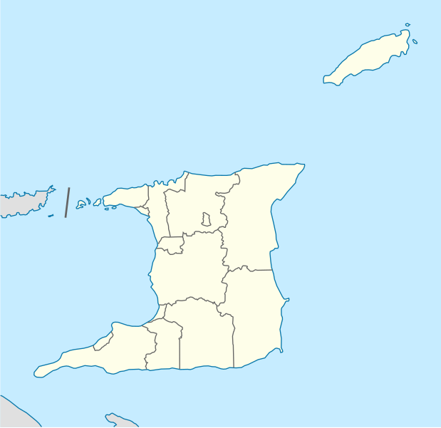
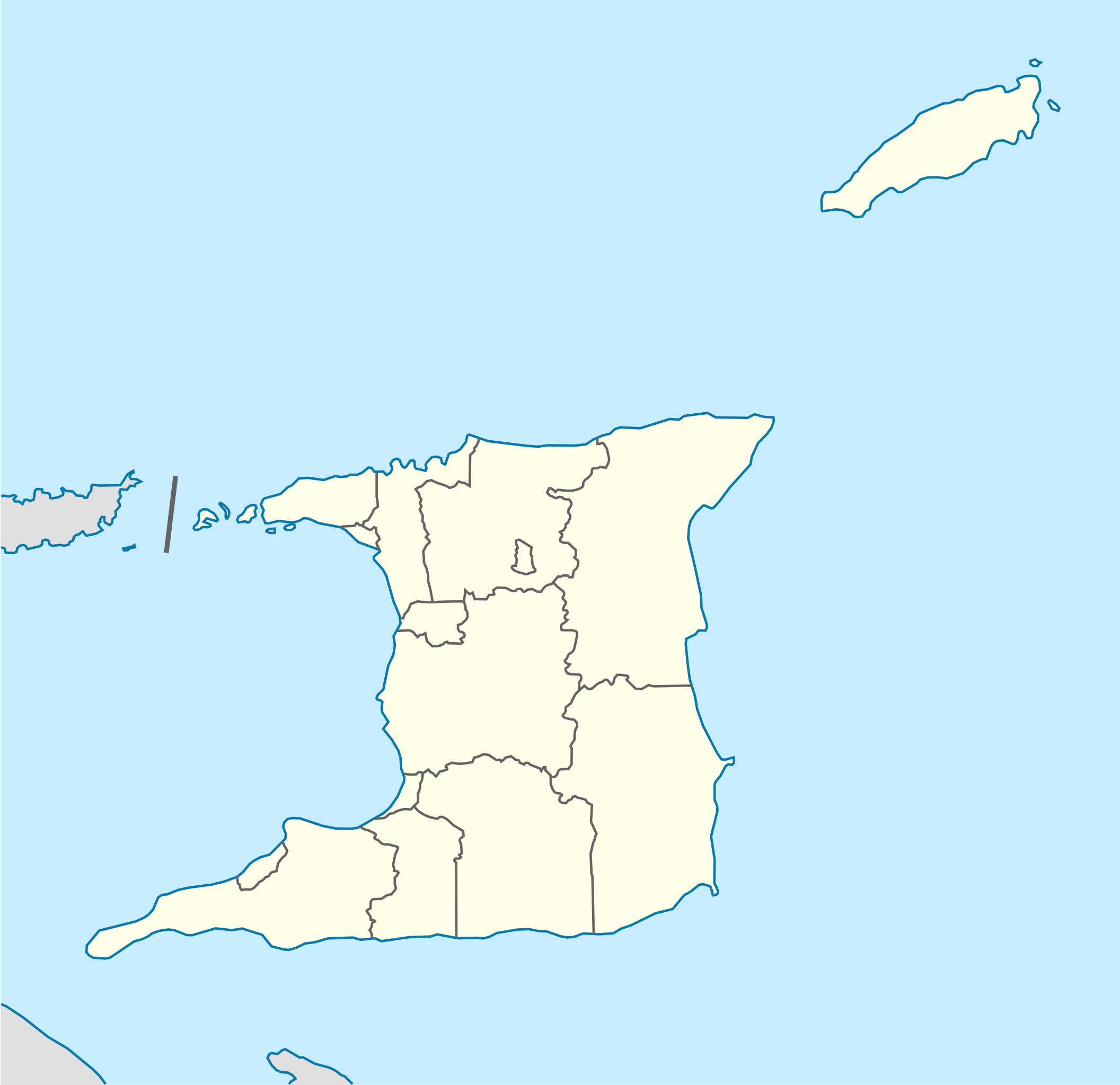
Deutsch: Positionskarte von Trinidad und Tobago
Quadratische Plattkarte. Geographische Begrenzung der Karte:
English: Location map of Trinidad and Tobago
Equirectangular projection. Geographic limits of the map:
|
| Datum | |
| Quelle |
Eigenes Werk, using
|
| Urheber | NordNordWest |
| Andere Versionen |
Abgeleitete Werke dieser Datei: Trinidad and Tobago location map Topographic.png |


|
Diese Karte wurde in der Kartenwerkstatt erstellt oder verbessert. Auch du kannst dort Karten vorschlagen, die zu erstellen, verändern oder übersetzen sind.
|
Lizenz
Ich, der Urheber dieses Werkes, veröffentliche es unter der folgenden Lizenz:
Diese Datei ist unter der Creative-Commons-Lizenz „Namensnennung – Weitergabe unter gleichen Bedingungen 3.0 nicht portiert“ lizenziert.
- Dieses Werk darf von dir
- verbreitet werden – vervielfältigt, verbreitet und öffentlich zugänglich gemacht werden
- neu zusammengestellt werden – abgewandelt und bearbeitet werden
- Zu den folgenden Bedingungen:
- Namensnennung – Du musst angemessene Urheber- und Rechteangaben machen, einen Link zur Lizenz beifügen und angeben, ob Änderungen vorgenommen wurden. Diese Angaben dürfen in jeder angemessenen Art und Weise gemacht werden, allerdings nicht so, dass der Eindruck entsteht, der Lizenzgeber unterstütze gerade dich oder deine Nutzung besonders.
- Weitergabe unter gleichen Bedingungen – Wenn du das Material wiedermischst, transformierst oder darauf aufbaust, musst du deine Beiträge unter der gleichen oder einer kompatiblen Lizenz wie das Original verbreiten.
Dateiversionen
Klicke auf einen Zeitpunkt, um diese Version zu laden.
| Version vom | Vorschaubild | Maße | Benutzer | Kommentar | |
|---|---|---|---|---|---|
| aktuell | 14:39, 7. Mai 2013 | | 780 × 756 (39 KB) | NordNordWest | Reverted to version as of 16:58, 17 June 2009; please see en: Chacachacare |
| 14:09, 7. Mai 2013 |  | 780 × 756 (43 KB) | Dr Brains | Boundary with Venezuela | |
| 18:58, 17. Jun. 2009 |  | 780 × 756 (39 KB) | NordNordWest | {{Information |Description= {{de|Positionskarte von Trinidad und Tobago}} Quadratische Plattkarte. Geographische Begrenzung der Karte: * N: 11.45° N * S: 9.85° N * W: 62.05° W * O: 60.4° W {{en|Location map of [[:en:Trinida |
Dateiverwendung
Die folgenden 14 Seiten verwenden diese Datei:
Globale Dateiverwendung
Die nachfolgenden anderen Wikis verwenden diese Datei:
- Verwendung auf af.wikipedia.org
- Verwendung auf ar.wikipedia.org
- Verwendung auf be-tarask.wikipedia.org
- Verwendung auf be.wikipedia.org
- Verwendung auf bg.wikipedia.org
- Verwendung auf bn.wikipedia.org
- Verwendung auf bs.wikipedia.org
- Verwendung auf ca.wikipedia.org
- Verwendung auf ceb.wikipedia.org
- Plantilya:Location map Trinidad and Tobago
- White Cliff
- Smith Island
- The Sisters
- Signal Hill
- Saint Paul
- Saint John
- Saint George
- Red Cliff
- Pelican Rocks
- Morris Bay
- Long Island
- Hermitage Bay
- Goat Island
- Five Islands
- North Point
- Sandy Point
- Long Rock
- Rocky Point
- Black Rock
- Wolf Rock
- White Rock
- East Rock
- Crown Point
- Centre Hill
- The Brothers
- South Rock
- Sandy Bay
- Eastern Channel
- Sisters Rocks
- Brothers Rocks
- Man of War Bay
Weitere globale Verwendungen dieser Datei anschauen.