
Datei:Bahamas location map.svg

Größe der PNG-Vorschau dieser SVG-Datei: 800 × 577 Pixel. Weitere Auflösungen: 320 × 231 Pixel | 640 × 461 Pixel | 1.024 × 738 Pixel | 1.280 × 923 Pixel | 2.560 × 1.846 Pixel | 1.559 × 1.124 Pixel.
Originaldatei (SVG-Datei, Basisgröße: 1.559 × 1.124 Pixel, Dateigröße: 383 KB)
Beschreibung

|
Diese Karte wurde in der Kartenwerkstatt erstellt oder verbessert. Auch du kannst dort Karten vorschlagen, die zu erstellen, verändern oder übersetzen sind.
|
Lizenz
Ich, der Urheberrechtsinhaber dieses Werkes, veröffentliche es hiermit unter der folgenden Lizenz:

|
Es ist erlaubt, die Datei unter den Bedingungen der GNU-Lizenz für freie Dokumentation, Version 1.2 oder einer späteren Version, veröffentlicht von der Free Software Foundation, zu kopieren, zu verbreiten und/oder zu modifizieren; es gibt keine unveränderlichen Abschnitte, keinen vorderen und keinen hinteren Umschlagtext.
Der vollständige Text der Lizenz ist im Kapitel GNU-Lizenz für freie Dokumentation verfügbar. |
Diese Datei ist unter der Creative-Commons-Lizenz „Namensnennung – Weitergabe unter gleichen Bedingungen 3.0 nicht portiert“ lizenziert.
- Dieses Werk darf von dir
- verbreitet werden – vervielfältigt, verbreitet und öffentlich zugänglich gemacht werden
- neu zusammengestellt werden – abgewandelt und bearbeitet werden
- Zu den folgenden Bedingungen:
- Namensnennung – Du musst angemessene Urheber- und Rechteangaben machen, einen Link zur Lizenz beifügen und angeben, ob Änderungen vorgenommen wurden. Diese Angaben dürfen in jeder angemessenen Art und Weise gemacht werden, allerdings nicht so, dass der Eindruck entsteht, der Lizenzgeber unterstütze gerade dich oder deine Nutzung besonders.
- Weitergabe unter gleichen Bedingungen – Wenn du das Material wiedermischst, transformierst oder darauf aufbaust, musst du deine Beiträge unter der gleichen oder einer kompatiblen Lizenz wie das Original verbreiten.
Du darfst es unter einer der obigen Lizenzen deiner Wahl verwenden.
Dateiversionen
Klicke auf einen Zeitpunkt, um diese Version zu laden.
| Version vom | Vorschaubild | Maße | Benutzer | Kommentar | |
|---|---|---|---|---|---|
| aktuell | 19:31, 15. Apr. 2011 | | 1.559 × 1.124 (383 KB) | NordNordWest | upd |
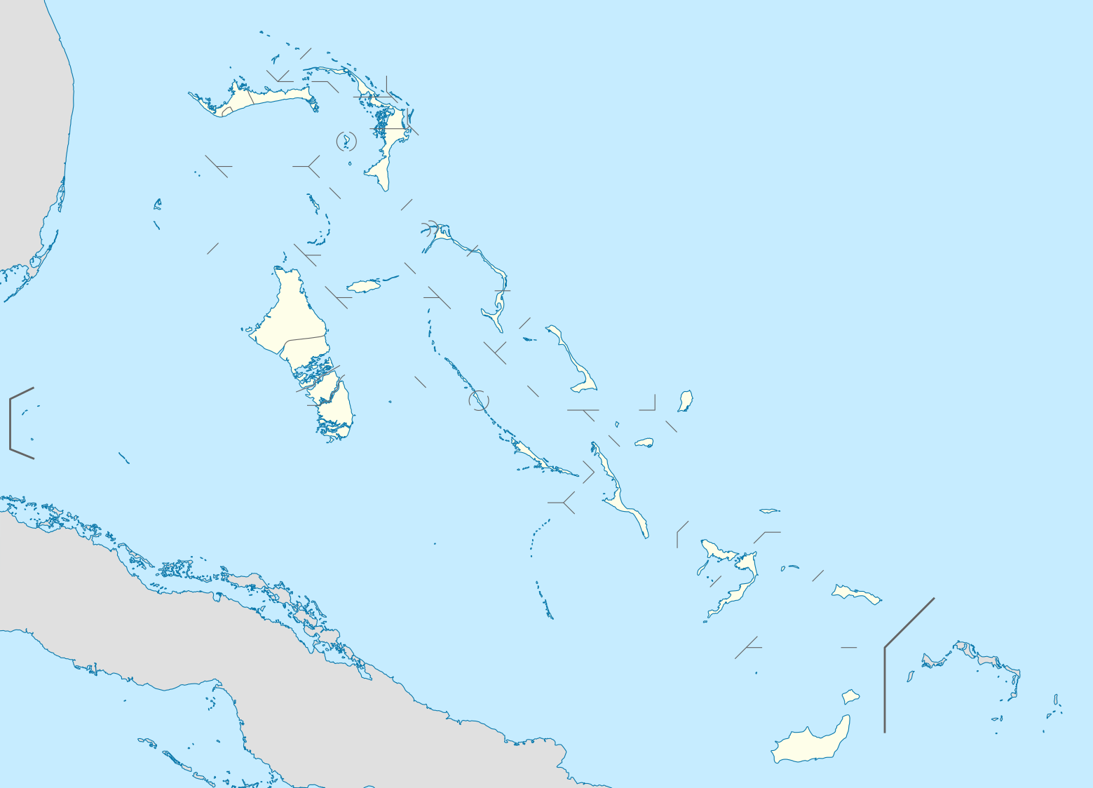
| 21:17, 23. Okt. 2008 |  | 1.560 × 1.125 (549 KB) | NordNordWest | {{Information |Description= {{de|Positionskarte der Bahamas}} Quadratische Plattkarte, N-S-Streckung 105 %. Geographische Begrenzung der Karte: * N: 27.5° N * S: 20.7° N * W: 80.7° W * O: 70.8° W {{en|Location map of [[:en:The Bahamas| |
Dateiverwendung
Mehr als 100 Seiten verwenden diese Datei. Die folgende Liste zeigt nur die ersten 100 Verwendungen dieser Datei. Eine vollständige Liste ist verfügbar.
- Acklins
- Alice Town
- Alice Town – Hatchet Bay
- Andros (Bahamas)
- Arthur’s Town
- Bailey Town
- Bain Town
- Bannerman Town
- Behring Point
- Bennett’s Harbour
- Bogue
- Burnt Ground
- Cable Beach
- Calabash Bay
- Chub Cay
- Clarence Town
- Clifton (Bahamas)
- Conception Island
- Cooper’s Town
- Coral Harbour
- Current
- Deadman’s Cay
- Deep Creek
- Deep Creek, Powell Point und Wemyss Bight
- Drigg’s Hill
- Eight Mile Rock
- Elbow Cay
- Eleuthera
- Exuma Islands
- Farmers Hill
- Freeport
- Fresh Creek
- Gambier
- George Town (Great Exuma)
- Gorda Cay
- Governor’s Harbour
- Great Exuma
- Great Guana
- Great Guana Cay
- Great Harbour Cay
- Green Turtle Cay
- Gregory Town
- Harbour Island
- Hawk’s Nest
- High Rock
- Holmes Rock
- Inagua
- James Cistern
- Kemp’s Bay
- Lee Stocking Island
- Little Abaco
- Little Exuma
- Little Harbour
- Long Island (Bahamas)
- Lowe Sound
- Lucaya
- Lyford Cay
- Man-O-War Cay
- Mars Bay
- Marsh Harbour
- Mastic Point
- Mayaguana
- Mc Lean’s Town
- Moore’s Island
- Morgan’s Bluff
- Moss Town
- Mount Thompson
- Nassau (Bahamas)
- New Bight
- Nicholls Town
- North Bimini
- North Cat Cay
- Orange Creek
- Palmetto Point
- Petty’s
- Port Howe
- Ragged Island Range
- Red Bay
- Roaker’s
- Rock Sound
- Rolle Town
- Royal Island
- Rum Cay
- Saint George’s Island
- Salt Pond
- San Andros
- San Salvador (Bahamas)
- Sandy Point
- Seymours
- Simms
- South Bimini
- Spanish Cay
- Stafford Creek
- Staniard Creek
- Staniel Cay
- Stella Maris
- Tarpum Bay
- The Bluff
- Treasure Cay
- Walker’s Cay
Weitere Links auf diese Datei.
Globale Dateiverwendung
Die nachfolgenden anderen Wikis verwenden diese Datei:
- Verwendung auf af.wikipedia.org
- Verwendung auf als.wikipedia.org
- Verwendung auf an.wikipedia.org
- Verwendung auf ar.wikipedia.org
- Verwendung auf ast.wikipedia.org
- Verwendung auf az.wikipedia.org
- Verwendung auf ba.wikipedia.org
- Verwendung auf be.wikipedia.org
- Verwendung auf bg.wikipedia.org
- Verwendung auf bn.wikipedia.org
- Verwendung auf bs.wikipedia.org
- Verwendung auf ceb.wikipedia.org
- Bahamas
- Plantilya:Location map Bahamas
- White Cliff
- South Point
- Pelican Point
- Palmetto Point
- Old Fort Point
- Long Island
- Long Bay
- Lobster Island
- James Point
- Hog Point
- High Point
- Goat Island
- Middle Ground
- North Point
- Castle Rock
- West Point
- West Cay
- Sandy Point
- Long Rock
- Little Island
- Black Point
- San Salvador
- North Beach
- Bell Island
Weitere globale Verwendungen dieser Datei anschauen.